AI
OSINT Recon
3D
Mission View
1st
Person Walk
PDF
Quote Export
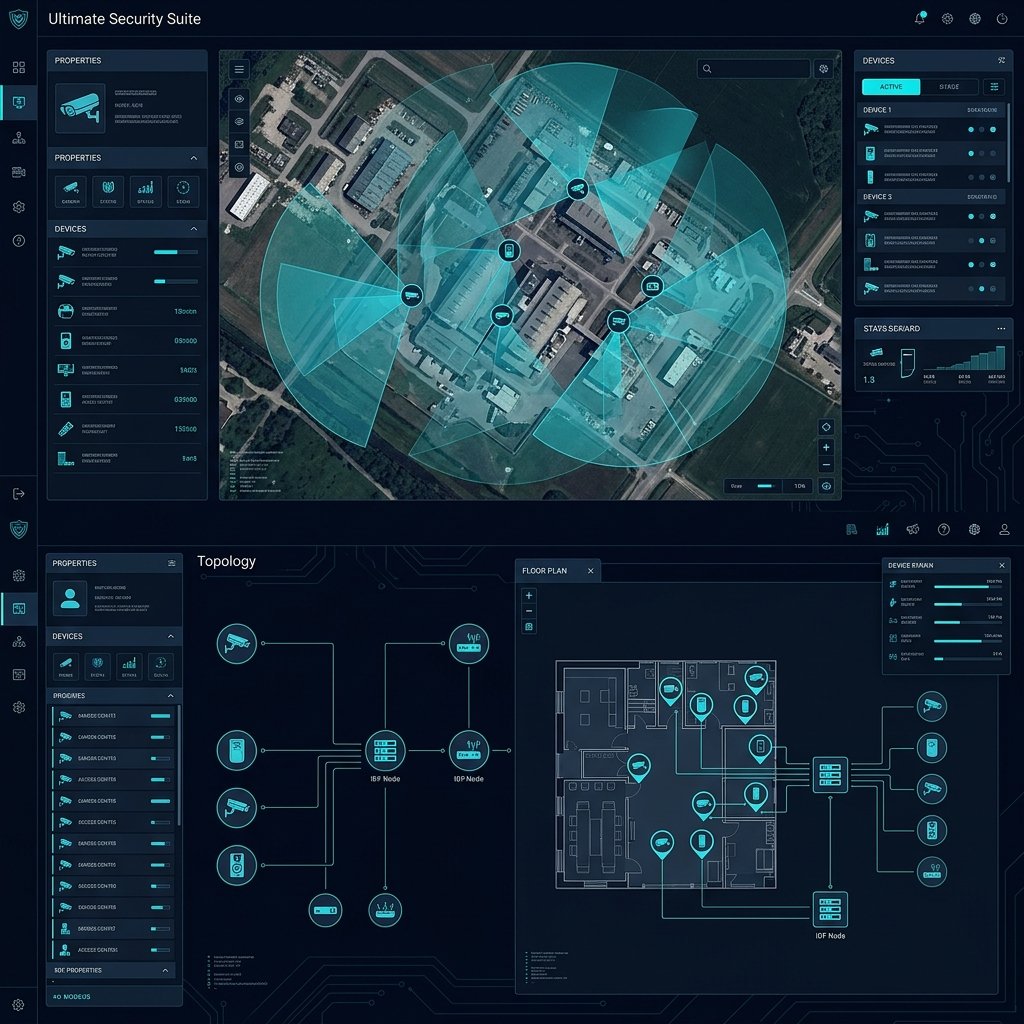
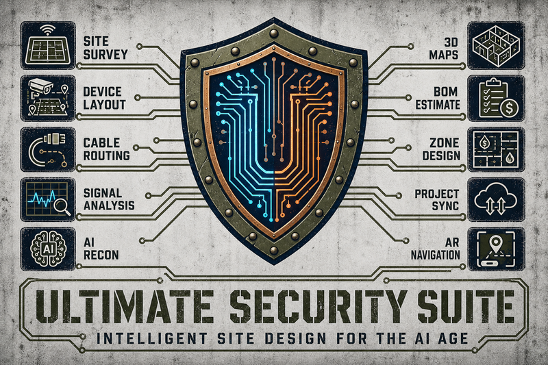
The tactical mission architect for low-voltage security integrators. Design commercial security systems on satellite maps, verify coverage in 3D, and generate complete quotes — all before stepping on site.
Enter any address and USS loads high-resolution satellite imagery. Drag-and-drop cameras, access control, network gear, and cable paths onto the building. Intelligent snapping and auto-orientation make device placement fast and precise.
Click "Auto-Route All" and USS calculates optimal cable paths with wall penetrations, conduit fills, and distance measurements. Bundle labels show consolidation points — click any path for exact footage and labor.
Before you place a single device, USS analyzes the building from satellite data — footprint detection, material identification, floor count, entry points, and risk assessment. Tactical intelligence at your fingertips.
Address-based autonomous recon pre-populates building metrics, saving 70% on pre-sale visits. The AI recon alone saves a $200-500 site visit on your first use.
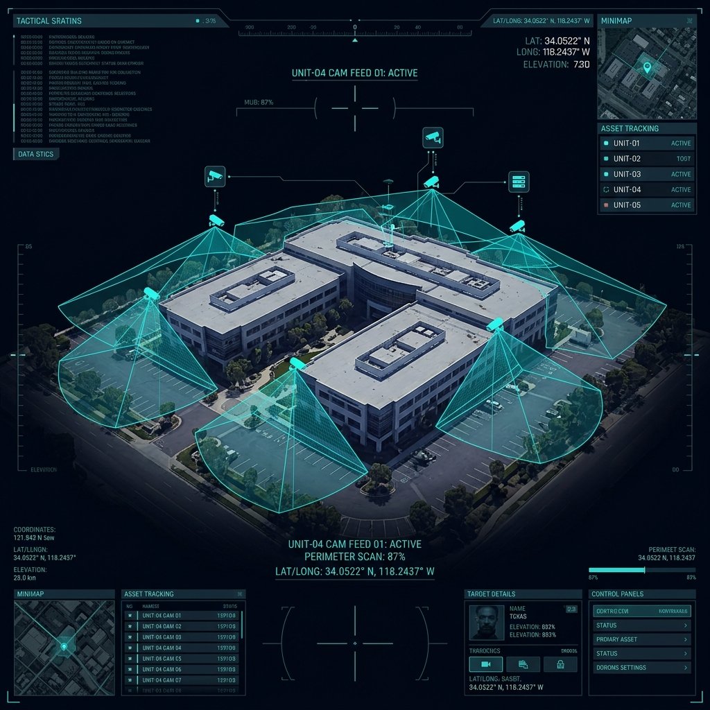
Verify your entire design in stunning 3D. Orbit the building, zoom into camera positions, and check first-person views from each device. Real-world geospatial rendering — not simulated 3D models.
Toggle WiFi heatmaps and see physics-based signal propagation through walls with attenuation modeling for concrete, drywall, glass, and wood. Know your design works before installation.
Auto-generated BOM with part numbers, quantities, unit costs, and totals. Labor calculated per cable pull, termination, penetration, and mount. Adjust the labor rate slider and export as PDF, CSV, or InsForge proposal — send it to clients on the spot.
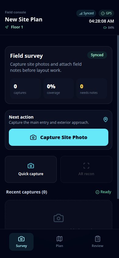
One-click Rollout Presentation with satellite views, 3D renders, FOV diagrams, and itemized quotes. Show clients the engineering behind the price — objections disappear. Full mobile interface for tablet-based site surveys on Android tablets and phones.
Four steps from first look to signed deal — before you ever roll a truck.
Enter any commercial address. AI recon pulls satellite imagery, building metrics, and risk assessment automatically.
Drag-and-drop devices onto the building and auto-route cable paths with exact footage and labor.
Orbit the site in 3D, walk it first-person from each camera, and toggle WiFi heatmaps through walls.
Export a branded PDF quote with full BOM and labor — or present it live with one click.
D-Tools charges $150-300/mo per seat. System Surveyor requires a $200+ license. We built something better at a fraction of the cost.
The AI OSINT Recon alone saves a $200-500 pre-sale site visit on your first use. Pro pays for itself on day one.
We don't compete with D-Tools' back office. We own the most lucrative part of the project lifecycle — where deals are won.
| Feature | USS Suite Pro | D-Tools Cloud | System Surveyor | JVSG Design Tool |
|---|---|---|---|---|
| AI Site Intelligence (OSINT) | ||||
| 3D Geospatial Visualization | Real-World | Diagrams | 2D Arcs | 3D Models |
| First-Person Walkthrough | ||||
| WiFi Heatmapping | Physics | |||
| BOM / Quote Export | ||||
| B2B Lead Generation | ||||
| Native Android App | iPad Only | Windows | ||
| AI Blueprint Extraction | ||||
| Price | $99/mo | $150-300/mo | $200+ license | $200+ license |
| Per Seat | $99 | $150-300 | $200+ | $200+ |
D-Tools owns back-office finance. System Surveyor owns iPad walkthroughs. USS Suite owns Digital Twin Pre-Sale — where deals are won.
Stop guessing on bids. Start winning more jobs with intelligence-driven design. Your first AI recon pays for an entire year of Pro — that's ROI nobody else offers.